
Unlocking Earth Intelligence with AI Agents
Reflections from ESA’s Phinnovation Summit
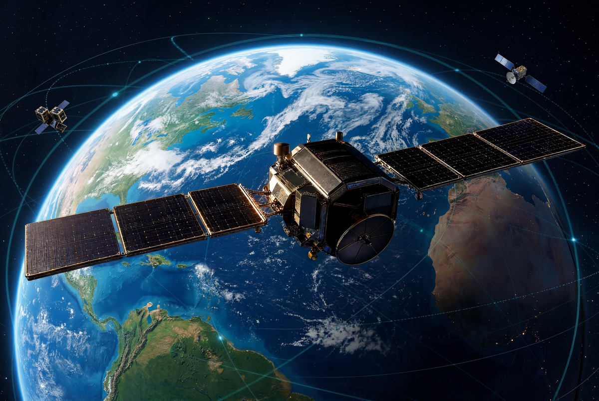
Our planet is being observed continuously. Copernicus alone generates 25 terabytes of data per day. The full Sentinel archive exceeds 70 petabytes - before accounting for commercial operators like Planet Labs, adding hundreds of thousands of daily scenes. Over 12,000 active satellites orbit Earth today, with the number expected to double by 2030. But only very little of this data reaches business decision-makers that need it most.
01 — THE PROBLEM
The Earth Observation data accessibility gap
Most organizations making decisions about the physical world - infrastructure, agriculture, real estate, insurance, energy, logistics - are still operating without access to the richest data available about it. The consequences are consistent: risk gets mispriced because compound physical exposure is invisible at the point of the decision; opportunities are missed because location intelligence that would reveal where to build, invest, or source remains locked behind specialist tools; and responses stay reactive because the data that would have enabled intervention exists, but the system to surface it in time does not. The gap between what satellites observe every day and what reaches business decision-makers is one of the most underappreciated inefficiencies in the global economy.
Much of this data is open and free. The barrier is not cost. It is the complexity of turning raw Earth observation (EO) data into something a decision-maker can act on. That barrier has persisted for decades. Technology can now remove it.
02 — WHAT AI CAN AND CAN'T DO
What today's AI can (and can't) do for Earth Observation
The most important advances in Earth Observation today are not just making satellite data bigger or cheaper. They are making it more legible to machines. Foundation models compress raw imagery into reusable embeddings. Multimodal systems connect pixels with text, maps, and other context. Semantic search makes it possible to retrieve places, changes, or patterns across planetary-scale archives without manually processing every scene.
For example, a disaster response agency can now use semantic search to instantly query global radar archives and surface every flooded river basin across a continent overnight - bypassing the traditional bottleneck of downloading and calibrating raw SAR imagery. These advances are genuinely pushing Earth Observation forward. They reduce compute, improve transfer across tasks, and move the field beyond hand-built indices and one-off models.
But they still mostly improve the machinery inside the geospatial stack rather than changing who can use it. To extract value, users still need to know which dataset to trust, how to define an area of interest, how to handle projections and resolutions, how to interpret model confidence, how to validate outputs, and how to turn a detected pattern into a decision. Today's AI progress in Earth Observation often accelerates experts rather than expanding access. It makes geospatial data more searchable, compressible, and model-ready - but it does not remove the core barrier: most people do not want to operate geospatial tools. They want answers they can understand, defend, and act on.
The Missing Layer: AI Agents as GIS Specialists
An AI agent is a system that can take a goal expressed in plain language, break it into steps, choose the right tools and data sources, and return a result - without the user needing to know how any of it works under the hood.
Applied to geospatial data, agents can take a plain-language brief, draw on EO embeddings or live satellite layers as needed, and return a decision-ready answer. They do not merely automate recurring workflows - they establish a dynamic intelligence layer that fluidly adapts to any geospatial inquiry in real time, reasoning over EO data, native geodata, drone imagery, point clouds, or business data without a prior geospatial link.
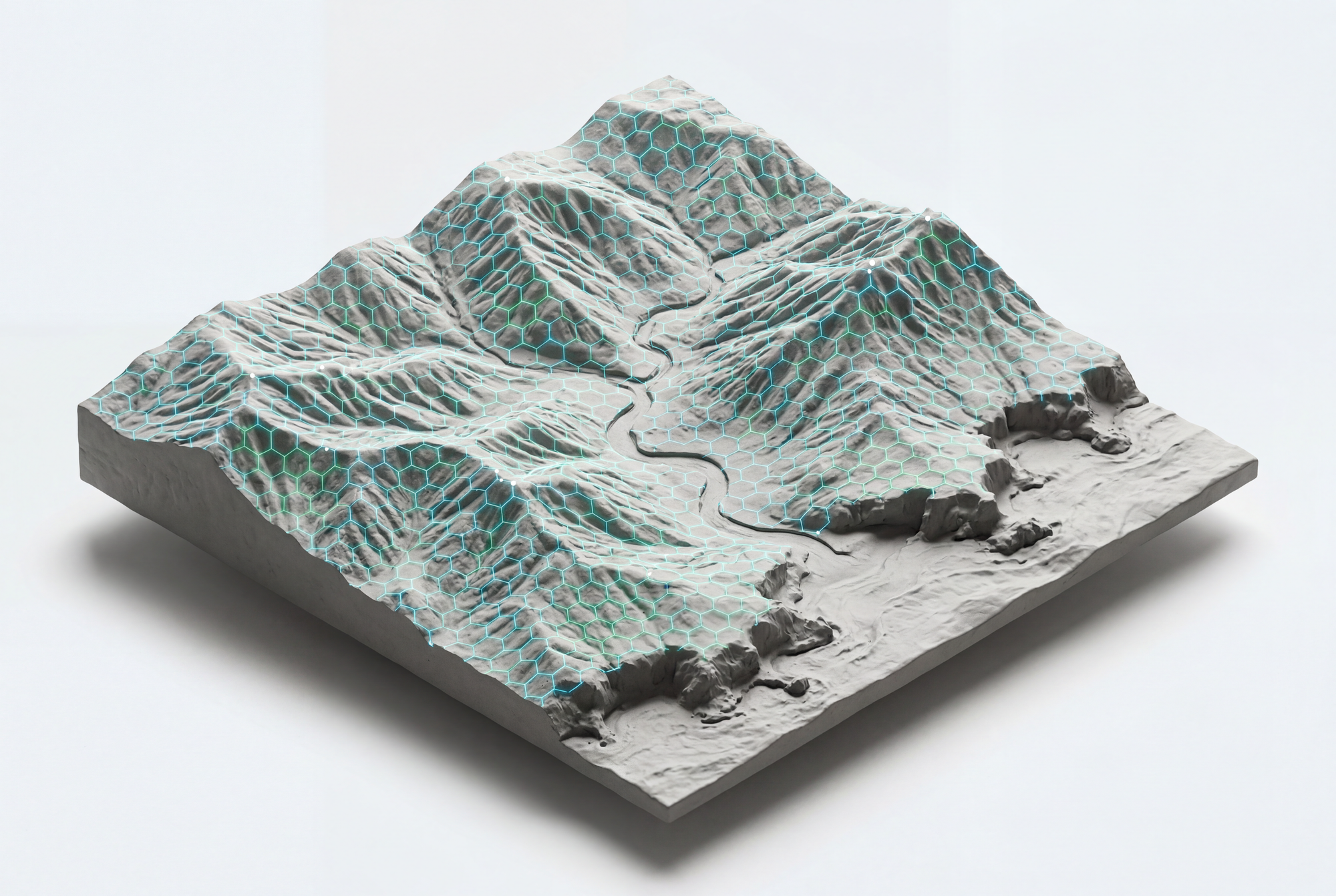
The shift is from data outputs to spatial intelligence - accessible to any team, regardless of technical background.
03 — WHAT AGENTS SHOULD AND SHOULD NOT HANDLE
Where Agents Should Decide - and Where Proven Engines Take Over
The question is no longer whether agents will become the primary interface for intelligent systems. They will. The more important question - the one that separates well-designed implementations from fragile ones - is where to let agents decide, and where to rely on proven, deterministic engines and code.
Agents excel at interpretation, orchestration, and synthesis. They are the right tool when a task requires understanding context, assembling information from multiple sources, and returning a result in plain language. But not every step in a workflow should be handled by an agent. Coordinate transformations, statistical aggregations, and rule-based compliance checks are deterministic by nature - they should be handled by proven code that produces the same output every time. Introducing an agent here adds variability where none is warranted.
The architecture that works is a clear separation: agents handle the interface and the reasoning; engines handle the computation. An agent interprets the question, selects the right analytical pipeline, and frames the result. The pipeline itself - the geospatial processing, the risk scoring, the change detection - runs on deterministic, validated code. This is not a limitation of agents. It is good system design.
For Earth Observation specifically, this means agents sit above the data processing stack, not inside it. They query pre-computed, validated layers - embeddings, risk indices, change detection outputs - and reason across them. The result is fast, reliable, and explainable: the agent can describe exactly which layers it queried and why, and the underlying computation is reproducible.
04 — WHY THIS MATTERS
What We Are Moving Towards
Three forces are converging to make scalable, accessible Earth Intelligence not just useful but essential.
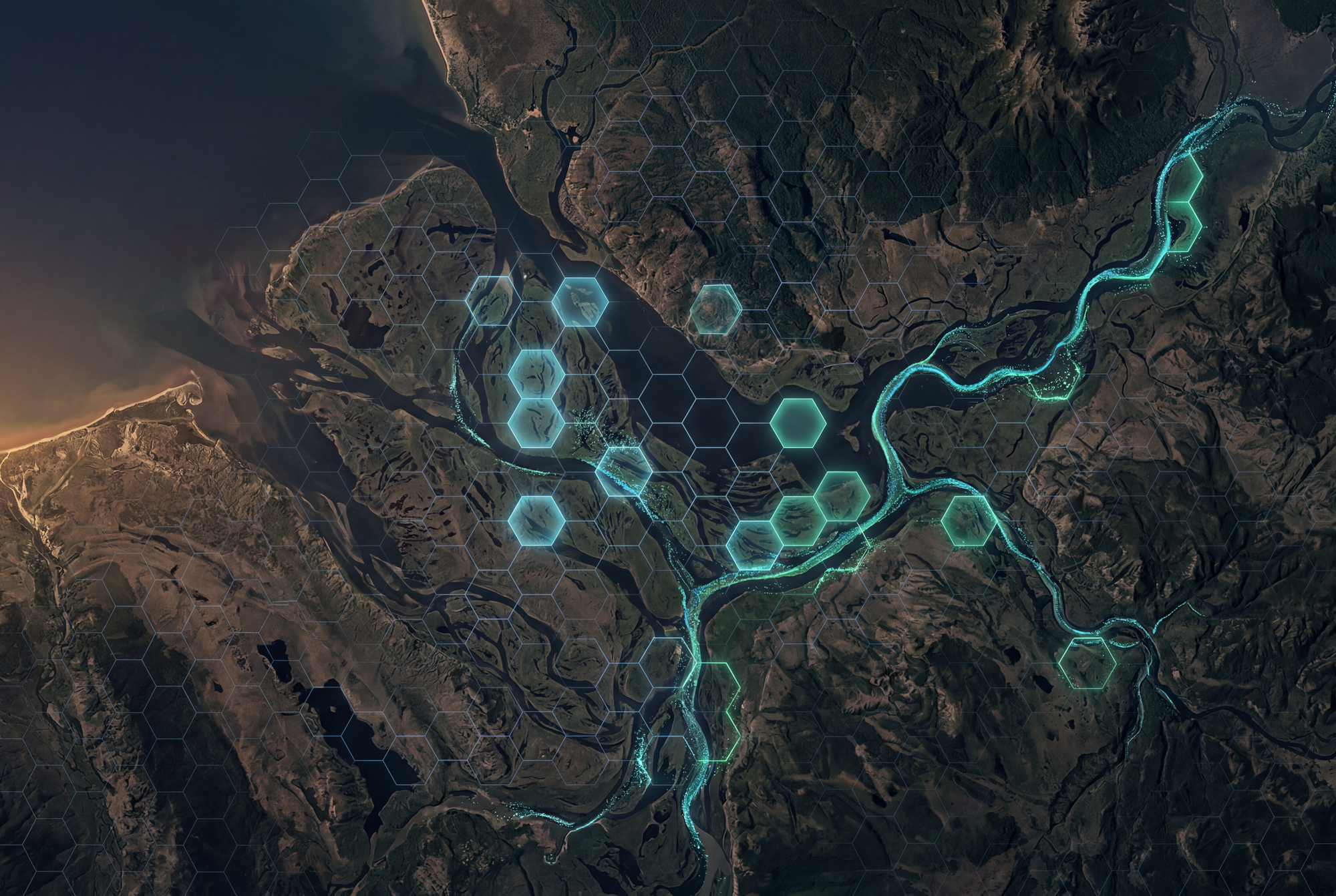
The first is climate change - accelerating the physical risks that organisations have historically treated as tail events. Flood zones are expanding. Fire seasons are lengthening. Ground conditions are shifting. The physical world is changing faster than the models built to describe it, and the gap between what is happening and what organisations know about it is widening.
The second is the shift to agent-driven operations. Organisations are deploying AI agents to automate workflows across finance, logistics, procurement, and planning. As those agents take on more operational responsibility, the need to ground them in accurate, real-time physical world data becomes critical. An agent making a procurement decision needs to know whether a supplier's region is in drought. An agent managing an infrastructure schedule needs to know whether ground conditions at a site have changed. Earth Intelligence becomes an input to the broader AI stack - not a standalone tool.
The third is productivity. AI is compressing the cost of analysis, planning, and decision-making across every sector of the economy. That productivity gain translates into capital - and capital flows into the physical world: new infrastructure, new energy assets, new supply chains, new urban development. More physical assets mean more to monitor, more to protect, and more decisions that depend on understanding what is happening on the ground. Earth Intelligence scales with the physical world it observes.
05 — CLOSING THE GAP
The gap this piece opened with — between what satellites observe every day and what reaches the people making decisions about the physical world — is finally closable. The missing layer was never more data or better models. It is an interface: one that lets the person making the decision ask their question directly, in plain language, and receive an answer they can understand, defend, and act on.
This is the layer PangeAI builds. Operational users — heads of asset management, HSE, property risk, network operations — ask location-based questions in plain English, without GIS expertise or specialist tools. Agents handle the interpretation and orchestration; validated, deterministic engines handle the computation. The result is spatial intelligence that adapts to any inquiry in real time, across energy grids, pipelines, infrastructure, real estate, and critical assets in Europe, the Middle East, Japan, and the US. The satellites are already watching. The question is whether the answers reach you in time to act.